AUTOMATION OF ROAD FEATURE EXTRACTION FROM HIGH RESOLUTION IMAGES
Supervisors: Prof. Dr. Mauro Castelli, Ph.D., Prof. Dr. Filiberto Pla, Ph.D., Mr. Nuno Alpalhão, MSc.
Source Image

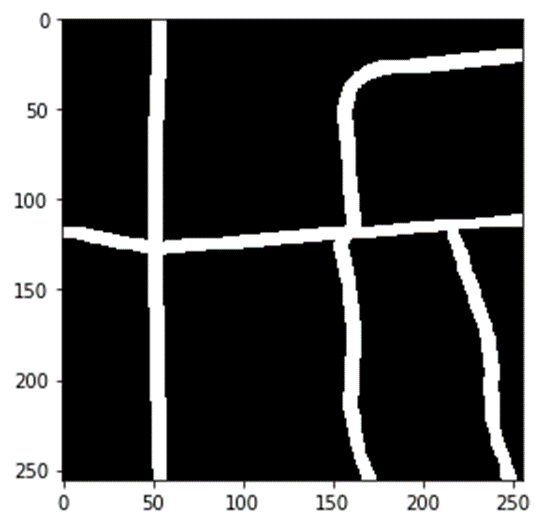
Reference Image

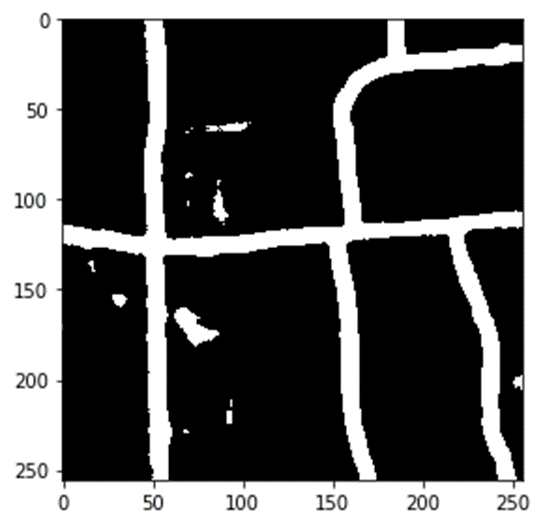
Model Output

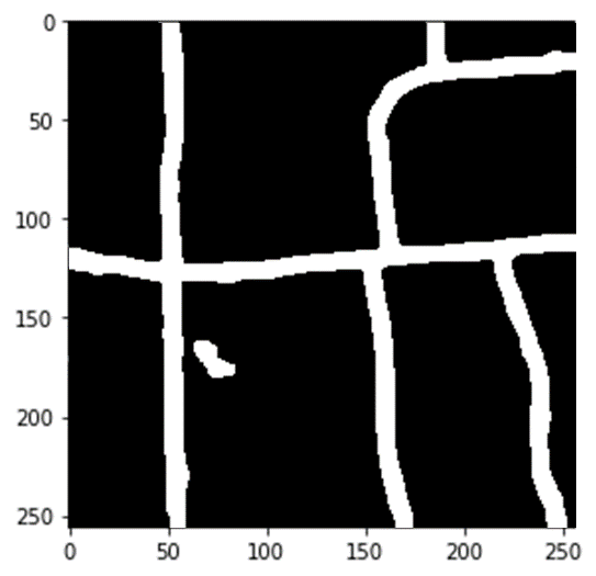
Post-Processed Output

The detection of road features from remotely
sensed images has become a critical factor in maintaining a reliable and updated road network in a country to provide a base reference
for transportation, emergency planning, and navigation. With the recent advances of convolutional neural networks in image processing,
several publications are devoted to the development of a method for automatically extract roads from satellite images.However, a reliable
feature extraction method has not yet been developed with the desired accuracy and precision, and always seems to be a proportionality
between the accuracy and the complexity of these developed methods.The aim of this study was therefore to develop an accurate road extraction
method without compromising computational efficiency. In this study, a semantic segmentation neural network that combines the
strengths of transfer learning and U-net architecture is proposed with a minimal network complexity.
Further, post-processing based on morphological operations and regional properties of the extracted
segments were used to remove the noises from the final output. The results have been compared with
different automatic classification and segmentation methods and the results of the proposed method
produced a high accuracy of 95.57%, more accurate than all the other models for the freely available
Massachusetts dataset. Finally, the developed method stood superior to the preexisting methods in
terms of performance measure and network complexity.
If you're curious about this study, please visit my Github page to access the code developed and view the full documentation
here