TRIANGULATION

Triangulation is a surveying technique in which used to establish the required horizontal control for geodetic surveying in hilly and undulated areas. As we all known from simple geometry if all the three angles and the length of one of its sides of a triangle are known, then, the lengths of the remaining sides of the triangle can be calculated trigonometrically. Again, if the coordinates of any vertex of the triangle and azimuth of any side, are also known, then, the coordinates of the remaining vertices may be computed (Agor R, 1996). By extending this concept, in past surveyors tried to find the coordinates of unknown points using trigonometry. As an institute of awarding surveying science degrees to the students, in 2016 we were tried to establish a geodetic control network for Sabaragamuwa university premises using this method. This project was carried out by the surveying science students from the 2011/2012 batch with the cooperation of university academic and administrative staff. The entire project can be divided into the following steps for easy explanation.
GEOMUNDUS

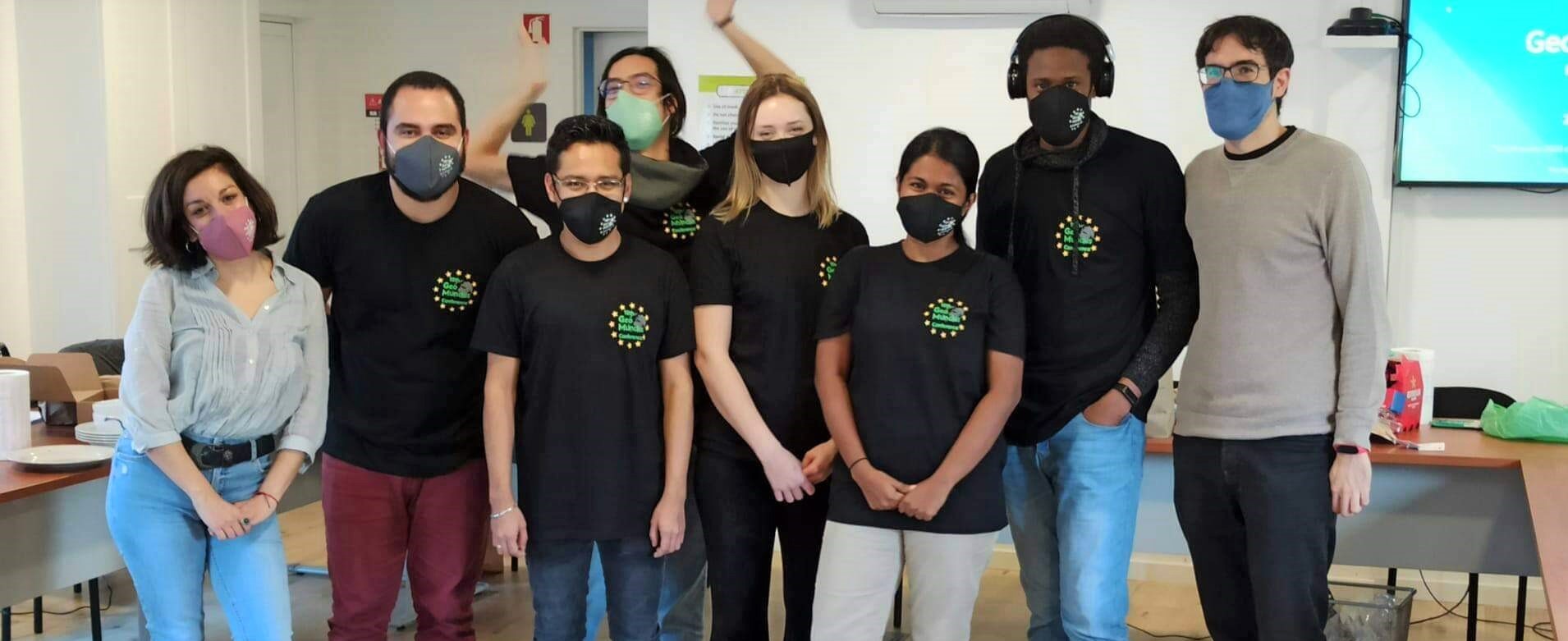
GeoMundus is a free international Conference organized by students for students. The organizing committee is the students from the Erasmus Mundus Master of Science in Geospatial Technologies. The conference aims to share cutting-edge scientific research, knowledge, and skills in the fields of Geospatial Technologies, Geoinformatics, and Geosciences, including but not limited to geographic information systems and sciences, spatial cognition, geography, and spatial data sciences.